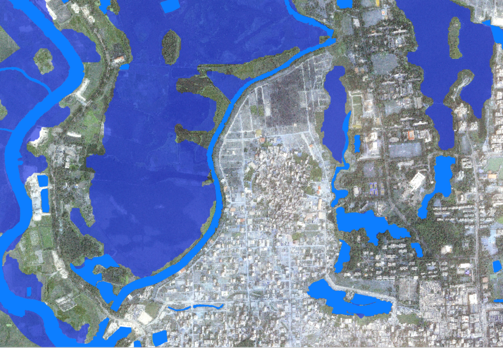
In August 2017, the EO4SD-Urban Consortium was able to provide fast and valuable support to the city of Dhaka, Bangladesh, which faced intense flooding. These events, despite not the largest in term of magnitude occurred in the last decade, claimed several lives and left considerable damages in the country.
In particular, the project Consortium could assist the World Bank task team in the region by supplying up-to-date hazard status information during the monsoon floods. This has been possible thanks to the employment of ESA Sentinel-1 radar satellite imagery, which allowed to monitor the city for a 36-day period.
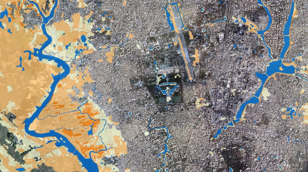
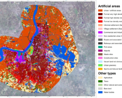
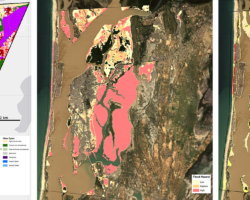
Maps of past flood extent have been also generated for selected historic events occurred between 2004 and 2016 in the region. However, this task proved particularly challenging due to the limited amount of archived radar scenes available, hence forcing the employment of optical imagery which – contrarily to radar data – is severely affected by the presence of clouds. Derived flood frequency has been then properly combined with land-use information (extracted from Pleiades VHR data) to generate a flood risk map for the whole city. Such dataset is expected to be of high support for predicting damages of future flood events, supporting city planning activities and helping defining mitigation measures.